Frankenjura Climbing Guide: Crags, Access Rules and When to Go
 Petr Hess, strength & conditioning coach
Updated 2 Nov 2026 · 12 min read
Key takeaways
Best for: Sport climbers planning a first trip to Germany's pocketed limestone
- Climb from about April to October; shaded forest crags make summer work, sunny south faces suit dry winter days.
- Learn the zones: Zone 1 means no climbing, Zone 2 existing routes to the lower-off only, Zone 3 normal climbing.
- Check the IG Klettern closure list before every trip: bird closures often run February to June and some crags close for bats from October to March.
- Bring a car if you can; without one, use the Gräfenberg and Ebermannstadt trains plus the weekend VGN leisure buses from May to early November.
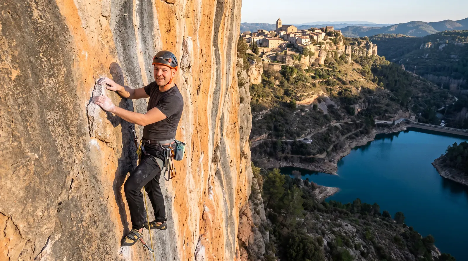
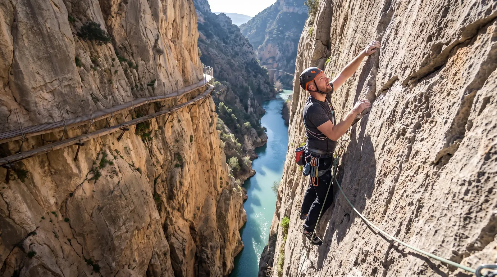
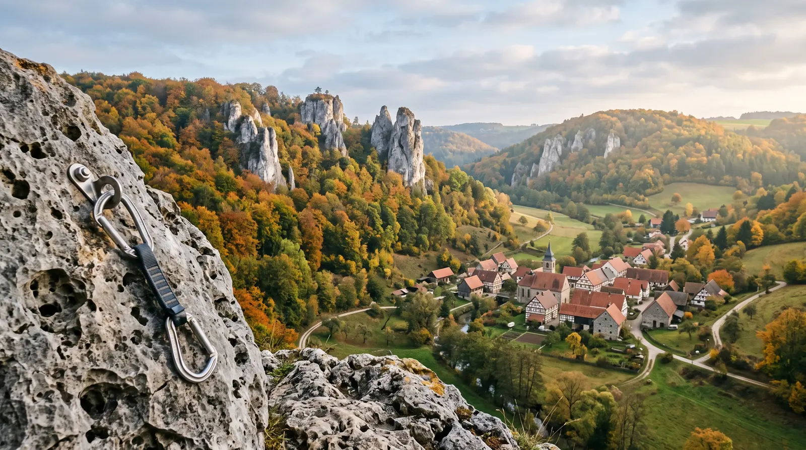
The Frankenjura (Fränkische Schweiz, or Franconian Switzerland) in northern Bavaria is one of the biggest sport climbing areas in the world: well over 10,000 short, mostly single-pitch routes on pocketed white and grey limestone, scattered through wooded valleys between Nuremberg, Bamberg and Bayreuth. Climb there from about April to October, base yourself in a valley village such as Obertrubach, Pottenstein or Gößweinstein, bring a car if you can, and learn the local zone rules and bird closures before you clip a bolt. This Frankenjura climbing guide covers the crags by level, the access rules, getting there, and the guidebooks.
I'm a strength and conditioning coach based in Prague, not a local guide, so this page is built from the official access sources and published guides cited at the bottom. Where it touches on fingers and training, it's from an S&C point of view. For a wider shortlist of trips, see our guide to the best climbing destinations in Europe.
Frankenjura at a glance
| Topic | What to expect |
|---|---|
Rock | Limestone of the White Jura, full of pockets, holes and overhangs |
Style | Mostly short, powerful single-pitch sport routes, vertical to overhanging; some older classics with spaced bolts |
Size | The DAV counts about 9,000 routes on just over 900 crags in the northern Frankenjura; the two Panico guidebooks describe about 13,400 routes |
Grades | UIAA, from about 3 to 11+ (roughly French 3 to 9a); French grades are used more and more |
Best months | April to October; shaded forest crags in summer, sunny walls on dry winter days |
Airport | Nuremberg (NUE) is closest; Munich and Frankfurt are bigger hubs further away |
Train | Nuremberg to Gräfenberg; Forchheim to Ebermannstadt; weekend leisure buses May to early November |
Base villages | Obertrubach/Untertrubach (Trubach valley), Pottenstein and Tüchersfeld (Püttlach valley), Gößweinstein, Streitberg and Muggendorf (Wiesent valley), Betzenstein, Hirschbach |
Access rules | Zone 1, 2 and 3 system, seasonal bird and bat closures; check IG Klettern and DAV Felsinfo |
Guidebooks | Panico Frankenjura Band 1 and Band 2 (Sebastian Schwertner, 2024); Gebro Franken 1 and Franken 2 |
Rest days | Steam train in the Wiesent valley, brewery hikes, Bamberg and Nuremberg old towns |
Why climbers go: pockets, power and history
The Frankenjura is the largest connected karst region in Germany, and the rock shows it. Walls are peppered with holes, from big two-hand pockets to single-finger monos, and many crags are steep. Most routes are short, so the difficulty is packed into a few hard moves rather than long endurance pitches. If your gym climbing is mostly crimps on vertical walls, expect a learning curve: pockets reward precise finger placement, body positioning and the confidence to pull hard on two or three fingers. Our guide to types of climbing holds explains pocket technique.
The area also has a big place in climbing history:
- The redpoint. In spring 1975 Kurt Albert started painting a red dot at the base of Frankenjura routes he had climbed free, without weighting the gear. The German Rotpunkt became the "redpoint", and the 50th anniversary was celebrated in Obertrubach in 2025.
- Action Directe. On 14 September 1991 Wolfgang Güllich made the first ascent of Action Directe at the Waldkopf in the Krottenseer Forst. The 15 m (49 ft) overhang with five bolts is widely called the first consensus 9a (UIAA XI, 5.14d), and it is famous for dynamic moves between one- and two-finger pockets. Güllich's preparation is also credited with bringing the campus board into climbing training.
Action Directe is a pilgrimage for most visitors rather than a project. If you go to look, keep to the paths and leave space for anyone trying it.
When to go: month by month
Sources broadly agree on April to the end of October as the main season. Because so many crags are in forest or face north, summer is more pleasant here than at most limestone areas further south. Winter tends to be damp and many crags stay wet, but sunny, south-facing walls can be good on dry, cold days.
| Period | Conditions | Watch out for |
|---|---|---|
November to February | Often wet and cold; occasional dry sunny days on south-facing walls such as the Zehnerstein main face or the Richard-Wagner-Fels | Bat closures at some crags from 1 October to 31 March |
March to May | Spring sun; sunny crags such as the Walberla come into condition first | Bird nesting closures, often from about 1 February to 30 June |
June to August | Warm to hot; choose shaded forest and north-facing crags | Ticks in the forest; bird closures end at different dates by species |
September to October | Often the best friction of the year | Bat closures start again on 1 October at certain crags; shorter days |
Access rules: zones, closures and the climbing concepts
This is the part most visitor guides skip, and it matters. Climbing in the Frankenjura is regulated by climbing concepts (Kletterkonzeptionen) agreed between nature authorities, conservationists and climbers. According to IG Klettern Frankenjura & Fichtelgebirge, the climbers' access group, the system grew out of climbers' resistance to official climbing bans at the Röthelfels and the Walberla; the first joint concept covered the Eibenwald and Weiße Wand near Gößweinstein. Zoning now covers the Fränkische Schweiz.
The three zones
| Zone | Official meaning | What it means for you |
|---|---|---|
Zone 1 | Ruhezone: no climbing (complete closure) | Do not climb on the rock at all |
Zone 2 | Climbing only on existing routes up to the lower-off; no new routes | Climb the existing routes, lower off at the anchor, don't top out |
Zone 3 | Existing routes; new routes with lower-offs possible outside vegetation zones | Climb normally; new routing is regulated |
The zone is usually shown on a sign at the crag and listed in the IG Klettern database and the DAV Felsinfo. Partial closures use signs saying climbing is forbidden in an area, or allowed only to the left or right; arrows show where you may climb. Not every sign carries a red X, so read them carefully.
Rules that apply everywhere
- Use the lower-off. Finish routes at the anchor. Do not walk onto the cliff tops, and do not reach anchors from above to rig a top rope.
- Leave the plants. No removing vegetation at the base or on the rock. That means no "cleaning" of new lines either.
- Park and walk where you are meant to. The DAV's basic rules: leave no rubbish, light no fires, and use only signed parking and approach paths.
- Seasonal closures. IG Klettern publishes a live closure list for eagle owls (Uhu), peregrine falcons and jackdaws, plus bat-protection closures in winter. On site, closures are marked with signs and tape. Dates differ by species and can change at short notice, or be lifted early.
Two examples show how specific this gets. In 2026, IG Klettern listed nesting closures from 1 February for three sectors of the Röthelfels (Versteckte Wand, Astronautenleiter and Grautvornix, lifted on 9 May) and for the right and middle sections of the Püttlacher Wand near the Bärenschlucht (until 30 June), while the rest of those crags stayed open. In winter 2026/27, IG Klettern lists bat closures from 1 October to 31 March at crags including the Kuhkirchner Wand, Zwergenschloss, Hätzerkirche, the upper part of the Kathedrale, and the Gerüchteküche/Wagnerfels. Note that the Wagnerfels is not the same crag as the popular Richard-Wagner-Fels in the Trubach valley.
Bouldering
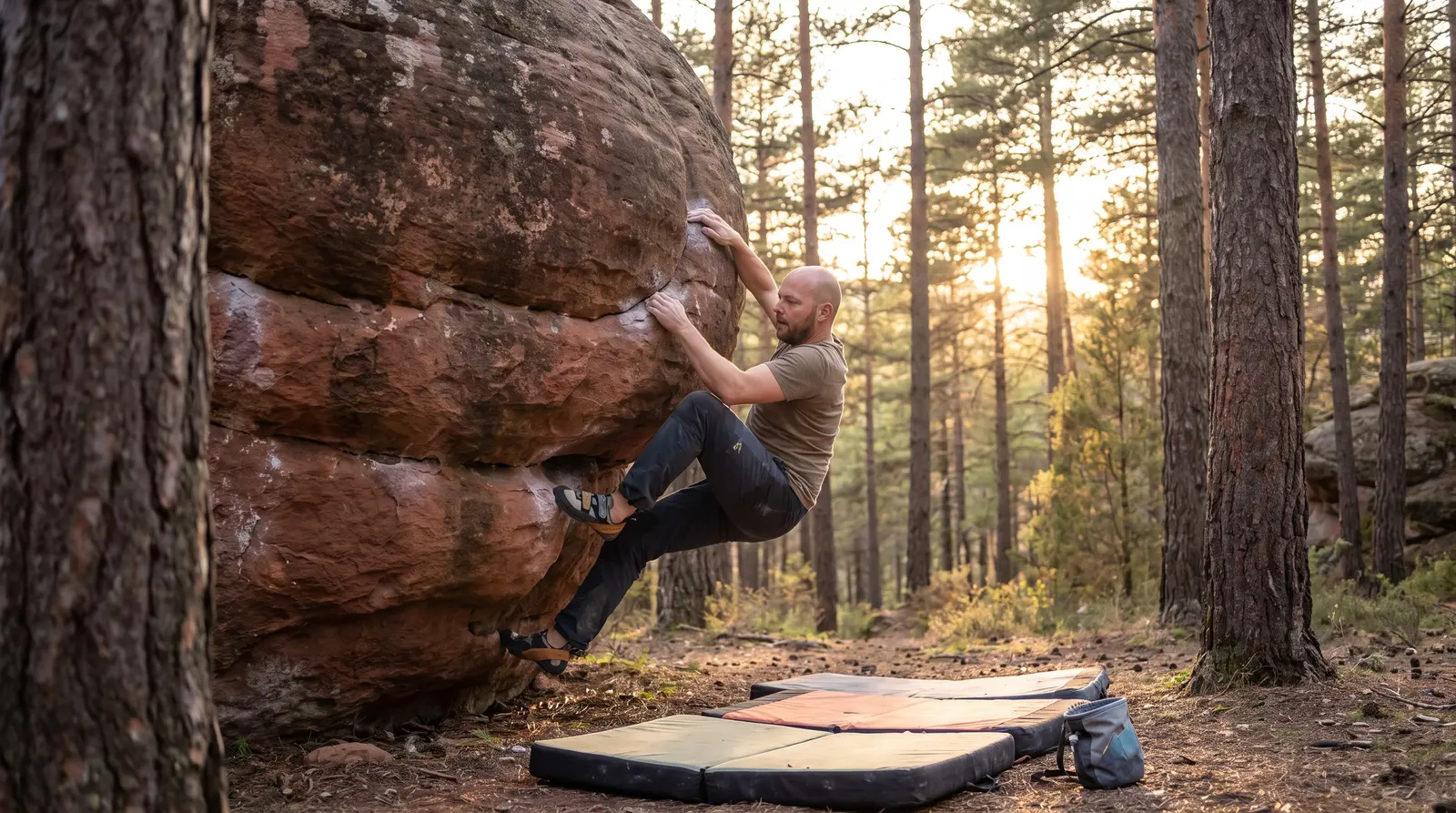
There is bouldering in the region too, under the IG Klettern Boulderappell: follow binding protection rules and closures, use chalk sparingly (and not at all in some areas), remove tick marks and tape, brush the boulder before you leave, don't store gear on site, drive no closed forest roads, and never clean vegetation. The same mindset as our bouldering etiquette guide applies.
Getting there and around
By plane
Nuremberg (NUE) is the nearest airport. Munich and Frankfurt have more international flights but mean a longer drive. From any of them, a rental car is the simplest option.
By car
A car is strongly recommended. The crags are spread over many valleys, and the beauty of the Frankenjura is hopping between two or three roadside crags in a day as sun and shade move. The Walberla, for example, is visible from the A73 between Bamberg and Nuremberg (exit Forchheim Süd). Park only in signed spots; farm tracks and forest roads are often closed to cars.
Without a car
Car-free climbing is possible with planning:
- Gräfenbergbahn: hourly trains, every day, from Nürnberg Nordost to Gräfenberg (about 40 minutes), at the southern edge of the Trubach valley area.
- Wiesenttalbahn (RB22): hourly trains from Forchheim to Ebermannstadt, the gateway to the Wiesent valley. From Ebermannstadt the historic steam train of the Dampfbahn Fränkische Schweiz runs to Behringersmühle in the summer season (special ticket; the Deutschlandticket is not valid).
- VGN Freizeitlinien: in 2026 these leisure buses ran from 1 May to 1 November, mostly on Saturdays, Sundays and holidays. The Wiesenttal-Express (line 389) links Ebermannstadt, Streitberg, Muggendorf, Gößweinstein, Pottenstein and Pegnitz; the Trubachtal-Express (line 229) links Gräfenberg, Egloffstein, Obertrubach and Gößweinstein.
On weekdays and outside the bus season you'll be walking or cycling a lot, so pick a base within walking distance of several crags.
Where to stay
Choose a base by valley rather than by village name, because that decides your approach times:
- Trubach valley (Obertrubach, Untertrubach, Wolfsberg): the traditional heart of the climbing scene, with classics such as the Zehnerstein and Richard-Wagner-Fels close by. Obertrubach hosted the redpoint anniversary in 2025.
- Püttlach valley (Pottenstein, Tüchersfeld): the Bärenschlucht crags sit right by the road between Behringersmühle and Pottenstein, next to a campsite. Note that the lawn in front of the Bärenschlucht sector is campsite property, so don't cross it unless you are staying there.
- Wiesent valley (Gößweinstein, Muggendorf, Streitberg, Behringersmühle): good bus and steam-train links and a mix of crags.
- South (Betzenstein, Hirschbach, Pegnitz valley): handy for the Hirschbach valley, the Weißenstein and the Krottenseer Forst.
Almost every village has guesthouses, holiday apartments or small hotels, and there are several campsites and motorhome pitches in the region. Book ahead for summer weekends and German public holidays.
The climbing: crags by level
The Frankenjura is graded in UIAA. Use our grade converter or climbing grades explained to translate. Visitors often find the grades stiff, especially on old, polished classics, and the bolting on older easy routes can be spaced. Start two or three grades below your usual sport level.
| Crag | Area | Good for | Notes |
|---|---|---|---|
Weißenstein | Road from Plech to Neuhaus an der Pegnitz | Beginners, first days | About 45 routes, easy grades, practically no approach |
Zehnerstein | Trubach valley, between Wolfsberg and Untertrubach | Lower and mid grades, winter sun | South-facing main wall; long, historic, often polished and busy |
Walberla (Rodenstein) | East of Forchheim | Classic cracks, corners and slabs | A favourite for the first sunny spring days |
Richard-Wagner-Fels and Reichelsmühler Wand | Trubach valley | Classic and historic routes, now re-bolted | Good on sunny winter days; small parking |
Bärenschlucht | Püttlach valley near Pottenstein | Wide grade range, roadside | Over 200 routes across several sectors; part of the Püttlacher Wand closed 1 Feb to 30 Jun |
Röthelfels | Near Egloffstein, east of Forchheim | Intermediates, longer vertical routes | About 180 routes; some sectors closed from 1 Feb in nesting season; some fragile rock |
Haselstaudener Wände | See guidebook | Intermediate sport routes | About 170 routes |
Roter Fels, Schlaraffenland, Gößweinsteiner Wände | Various | Experienced climbers | Recommended by German guides for strong climbers |
Waldkopf | Krottenseer Forst | Elite climbers and spectators | Home of Action Directe (9a) |
Route counts are from The Topo and guide listings and change as routes are added; your guidebook or app is the final word. Check the zone sign and the closure list for every crag on this table before you go.
If you are new to outdoor sport climbing
Many easy routes here are old, polished and more spaced than modern sport routes, so the low grades can feel serious. If you've never led outside, go with an experienced partner or a qualified instructor, and learn to clean and lower off at an anchor before the trip. If you're comparing first sport trips, our Arco climbing guide is another option, and outdoor bouldering for beginners covers the basics of moving from gym to rock.
Pockets and your fingers: an S&C view
Pocket pulling loads the fingers very differently from crimping on edges. In a two-finger or mono pocket, a handful of tendons and pulleys take the whole load, and dynamic moves into pockets (the signature of Action Directe) add impact. A few general points:
- Warm up thoroughly on bigger holds before pulling on small pockets. Our climbing warm-up is a good template.
- Build volume gradually over the trip. A week of daily steep pocket climbing is a big jump for fingers used to gym volumes; plan rest days.
- If you want to prepare, include some two- and three-finger work in your hangboard program in the months before, progressing load slowly.
- Stop if you feel a sharp pain or hear a pop in a finger. Our guides on climbing finger injuries and the A2 pulley injury explain warning signs.
Gear to bring
- Rope: a 50 m rope covers most routes; bring 60 or 70 m for some long classic walls. Always tie a knot in the end of the rope. See our climbing rope guide.
- Quickdraws: routes are short, so around a dozen draws is plenty for most; Action Directe itself has five bolts. Check the topo for longer lines.
- Nuts and slings: a small set can help on some older, easier routes with spaced bolts.
- Helmet: sensible at any limestone crag, especially below older routes and fragile rock. See our climbing helmet guide.
- Harness and belay device: an assisted-braking device is useful for the long projecting sessions typical here. See our belay device guide and harness guide.
- Tape and skin care: sharp pocket edges are hard on skin. See how to tape fingers.
- Tick repellent for forest approaches in spring and summer.
Guidebooks and apps
- Kletterführer Frankenjura Band 1 (Panico, 13th edition, 2024) by Sebastian Schwertner: over 6,500 routes in the northern half, including the Wiesent valley, Gößweinstein, the Püttlach valley and the Kleinziegenfelder valley. 608 pages, in German.
- Kletterführer Frankenjura Band 2 (Panico, 2024) by Sebastian Schwertner: about 6,900 routes in the southern half, including the Walberla, Trubach valley, Betzenstein area, Pegnitz valley, Krottenseer Forst and Hirschbach valley. 608 pages, in German.
- Both Panico books include a three-year download code for the Vertical-Life app with all the topos, plus GPS points and QR codes for parking.
- Gebro Franken 1 and Franken 2 (Ulrich and Harald Röker) are the alternative guidebook series, also listed by the DAV.
- Online: frankenjura.com runs a crag database (full topos for premium members) and its own app; theCrag and The Topo also list many crags. Treat online closure info as a starting point and confirm on IG Klettern.
Rest days, costs and safety
Rest days: ride the steam train from Ebermannstadt to Behringersmühle in summer, take the VGN Brauereien-Wander-Express to a brewery hike (Franconia is beer country), or visit the old towns of Bamberg and Nuremberg.
Costs: the main costs are accommodation, food, fuel and the guidebook; a rental car is the big extra if you fly in. Guesthouses, apartments and campsites cover budget to mid-range.
Safety:
- The emergency number in Germany and the rest of the EU is 112. Know the name of your crag and parking spot so you can describe where you are.
- Limestone can be fragile. Check anchors before lowering, and stay out of the fall line below climbers.
- Ticks are common in the forest; check yourself after each day and ask your doctor whether a tick-borne encephalitis (TBE) vaccination makes sense for you.
- Check that your travel insurance covers climbing and rescue. Our climbing travel insurance guide explains what to look for.
A sample 7-day Frankenjura trip
A loose plan for an intermediate sport climber based in the Trubach or Püttlach valley, with a car. Swap crags around closures and weather.
- Day 1: arrive, short session at an easy roadside crag such as the Weißenstein to get used to the rock and the grades.
- Day 2: Trubach valley classics: Zehnerstein and the Richard-Wagner-Fels or Reichelsmühler Wand.
- Day 3: Bärenschlucht in the Püttlach valley; plenty of grades in one place.
- Day 4: rest day: steam train, brewery hike or Bamberg.
- Day 5: Röthelfels for longer vertical routes (check the spring nesting closures first).
- Day 6: Haselstaudener Wände, or a project day at your favourite crag so far.
- Day 7: short morning session, then a walk to the Waldkopf to see Action Directe before you leave.
For the wider planning steps, from budget to partners, see how to plan a climbing trip, and pack with our trip packing list.
FAQ
When is the best time to climb in the Frankenjura?
Roughly April to October. Many crags sit in forest or face north, so summer works well, and spring and autumn are the most comfortable. Some sunny, south-facing walls such as the Zehnerstein main face can be climbed on dry winter days. Check bird closures (often February to June) and winter bat closures before you choose a crag.
What do Zone 1, Zone 2 and Zone 3 mean in the Frankenjura?
They come from the climbing concepts (Kletterkonzeptionen) agreed between authorities, conservationists and climbers. Zone 1 is a rest zone with no climbing at all. Zone 2 allows climbing only on existing routes up to the lower-off, with no new routes. Zone 3 allows existing routes and, outside vegetation zones, new routes with lower-offs. The zone is usually shown on a sign at the crag.
Is the Frankenjura good for beginners?
Yes, if you already lead sport routes or climb with someone who does. Crags such as the Weißenstein, Zehnerstein, Walberla and Richard-Wagner-Fels have easier and classic routes, but many easy routes are old, polished and more spaced than modern sport routes. Expect UIAA grades to feel stiff and start a few grades below your usual level.
Can you climb in the Frankenjura without a car?
It is possible but limited. Trains run from Nuremberg to Gräfenberg and from Forchheim to Ebermannstadt, and from May to early November VGN leisure buses (mostly at weekends) link Ebermannstadt, Gößweinstein, Pottenstein, Obertrubach and Gräfenberg. During the week, and for most crags, a car is far easier.